
How to Quickly Get Coordinates for Ground Control Points with PPK Rover
- Antonio Liska

- Mar 10, 2021
- 4 min read
Updated: Oct 3, 2025
What is a Ground Control Point in Photogrammetry?
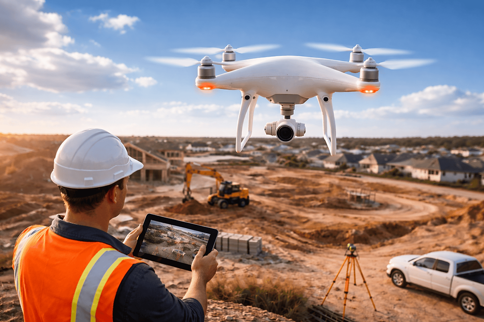
A ground control point (GCP) in photogrammetry is a physical marker on the ground with known coordinates, used to improve the accuracy of aerial mapping and 3D modeling. GCPs act as reference points to align and georeference photogrammetry data, ensuring precise measurements in software like Metashape Pro. By incorporating GCPs, photogrammetry projects achieve higher spatial accuracy, making them essential for applications like surveying, construction, and environmental monitoring.
In this guide, we’ll walk you through how to use the RoboDot Touch PPK Rover to efficiently collect precise coordinates for GCPs, streamlining your photogrammetry workflow. Whether you’re new to photogrammetry or a seasoned professional, this minimalist solution will save you time and effort.
Get Coordinates for Ground Control Points with PPK Rover
Using the RoboDot, it's easy to obtain precise coordinates for ground control points (GCPs). GCPs can later be used in photogrammetry projects with Pix4D, Metashape Pro, or similar software. Here's a minimalist solution to acquiring GCPs with a single RoboDot Touch Rover and freely obtainable observations from Continuously Operating Reference Stations (CORS).
First, know where your base or CORS corrections are located relative to your project. Increasing the distance between the base and rover will decrease the accuracy of each measurement. Distances between rover and base under 20km are recommended.
RoboDot Touch allows users to choose between mounting it on a monopole, bipod, or placing it directly on the point of interest to take a PPK rover shot. If you plan on returning, consider marking the location of the GCP with paint or a surveying pin.

RoboDot Touch Over GCP
Start by placing the RoboDot Touch over the GCP. If you have a rod, before taking your first shot, enter the rod height in meters, then take the shot. Label it if you have to. Repeat this for every point that you need to identify. The amount of time that a point is sampled can be set on the settings page at up to 300 seconds.

RoboDot Touch Rover Mode

RoboDot Touch Utility Rover PPK Tool
Run the RoboDot Touch Utility, selecting PPK Rover. Enter the rover observation file first, in order to see the time range of rover observations. This information helps to obtain the required base observations.

RoboDot Touch Utility Rover Observation Period
Find the nearest CORS site ID using the CORS Map. Then, in UFCORS, enter the rover observation timeframe and site ID to download the relevant base observations.
In the Utility, enter the downloaded zip file under Base Obs. Alternatively, enter a file from a local base station, such as another RoboDot Touch that would have been recording during the same period as the Rover. Finally, enter the shot list file and start processing.
After the process is complete, the Utility will generate a shot list CSV file. This file can be easily viewed and used with aerial photogrammetry software or your preferred CAD package.
Why Use Ground Control Points in Photogrammetry?
Ground control points in photogrammetry are critical for ensuring the accuracy of your geospatial data. Without GCPs, aerial imagery may suffer from distortions or misalignment, leading to unreliable measurements. By using tools like the RoboDot Touch PPK Rover, you can capture GCP coordinates with centimeter-level precision, enhancing the quality of your photogrammetry outputs. Whether you’re mapping a construction site, creating topographic models, or monitoring environmental changes, GCPs provide the foundation for trustworthy results.
Benefits of Using RoboDot Touch for GCP Collection
Precision: Achieve high-accuracy coordinates with PPK technology, even in remote areas.
Efficiency: Streamline your workflow with a single rover and free CORS data.
Flexibility: Mount the RoboDot Touch on a monopole, bipod, or directly on the GCP for versatile field use.
Compatibility: Seamlessly integrate coordinates into photogrammetry software like Pix4D and Metashape Pro.
Tips for Optimizing Your GCP Workflow
To make the most of your ground control point in photogrammetry collection, consider these practical tips:
Plan Your GCP Placement: Strategically place GCPs across your project area to ensure even coverage and optimal georeferencing.
Use Visible Markers: Paint or surveying pins make it easier to relocate GCPs for future visits.
Check CORS Availability: Verify the proximity of CORS stations to your project site to maximize accuracy.
Label Clearly: Assign unique labels to each GCP shot to avoid confusion during post-processing.
Ready to Enhance Your Photogrammetry Projects?
Using the RoboDot Touch PPK Rover, collecting precise coordinates for ground control points in photogrammetry has never been easier. This efficient, user-friendly solution empowers surveyors, engineers, and geospatial professionals to achieve accurate results without complex setups.
Do you have a similar application? Contact us to see how we can help you solve your measurement needs.


Comments