
The (Main) Features of RoboDot and When You Need Them
- Antonio Liska

- Sep 16, 2021
- 2 min read
Updated: Sep 2, 2025

"There are so many ways to use it" is a common phrase describing RoboDot. The whole point of RoboDot, from inception, is to keep GNSS simple. With each mode RoboDot maintains functional simplicity, however, knowing when to use RoboDot in different scenarios can appear tricky for the newcomer. Here, I present the main feature set and explain how those features are beneficial to mapping and surveying operations.
Survey In
In situations when a job site doesn't provide a control point, RoboDot can be used to obtain one. There are two common solutions to obtaining a control point with RoboDot. With internet access and a virtual reference station (VRS) subscription, RoboDot can connect to the VRS and obtain RTK corrections that are used to accurately set the RoboDot coordinates. If VRS is not available, RoboDot will log observation data that can be used to obtain a precise point position (PPP) solution via services like OPUS. This workflow can be used to efficiently survey an area without an initial control point and no access to a base station.
Base Mode
All precision GNSS rovers need a reference station, aka base station, to compute accurate coordinates. For a rover to produce accurate coordinates in real-time, it must be feed corrections in real-time. RoboDot can be used as a local base station for RTK rovers that can connect to its correction server via Wifi. Here's how to use RoboDot for local real time corrections. Alternatively, when a live connection between a rover and base is not possible, RoboDot can be used to save observation files that are necessary to produce post-processed (PPK) rover coordinates.
Rover Mode
RoboDot can function as a Rover in real-time or in post process. When a base station is available, RoboDot connects to it via NTRIP as a client. When a live connection is not available, RoboDot saves observation information along with a shot list that is used in post-processing to recreate the survey. This post details the steps required to use a RoboDot as a PPK rover.
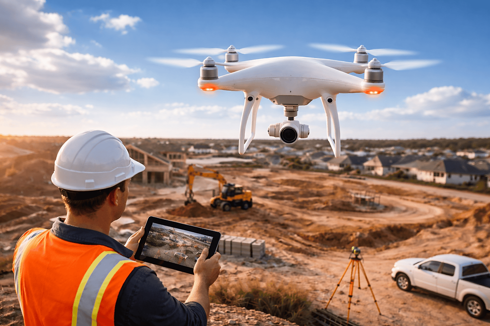
RTK and PPK rover modes come in handy during photogrammetry missions to capture ground control points (GCP), check shots, or in full-fledged terrestrial surveys.
Smart GCP
The shape of RoboDot is significant because it enables its use as a smart GCP, RoboDot is white, flat, 1/2 foot in diameter and .1ft high These characteristics make RoboDot easily identifiable from aerial imagery and easily selectable in photogrammetry software such as Pix4D mapper or Agisoft Metashape. GCP are commonly employed in photogrammetry when the associated drone/rover does not have RTK/PPK GNSS capability. When a photogrammetry drone doesn't have precise GNSS, Multiple RoboDots can be placed on-site where they would appear in the aerial imagery and the precise coordinates that they supply serve to orient the aerial triangulation results.
Reach out via the contact form to converse about how RoboDot can simplify your workflow.


Comments