
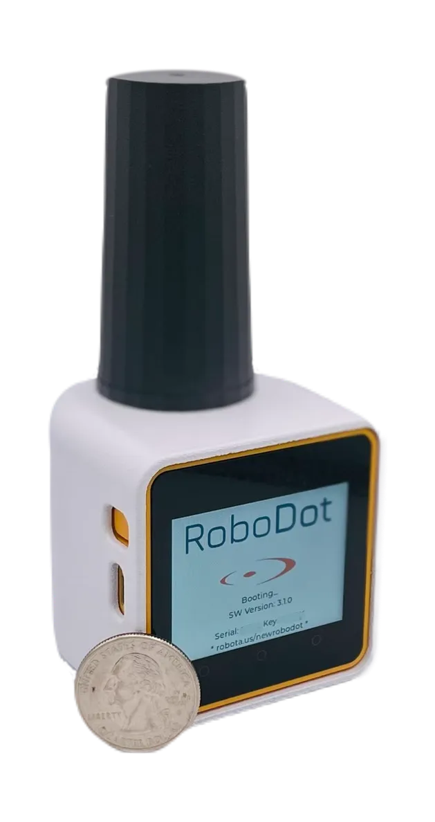
RTK GNSS Receiver
RoboDot Touch
Multi-band RTK base, rover, logger, and repeater with centimeter accuracy, touch screen, and NTRIP built in.
Solutions
Hardware and software engineered around one idea: repeatable, reliable, robust workflows for professionals who measure the world, and for those who light up the sky.
RTK GNSS Receiver
Multi-band RTK base, rover, logger, and repeater with centimeter accuracy, touch screen, and NTRIP built in.
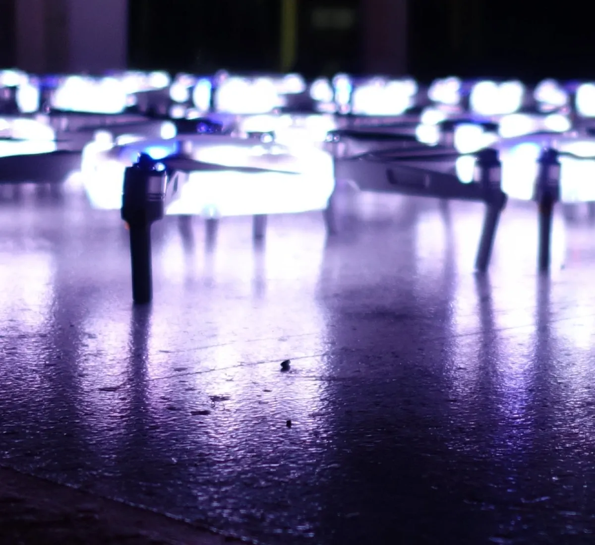
Drone Light Show System
A portable, precise drone light show kit with RTK positioning, RoboShow design software, and US support.
Photogrammetry Software
Professional photogrammetry that turns drone imagery into 3D models, orthomosaics, and GIS-ready data.
Real-time handheld 3D scanning software from Dot Product; pair with RoboDot Touch for georeferenced scans.
How our software and RTK hardware combine into a defensible drone mapping pipeline.
Centimeter-accurate GNSS for surveying, drone mapping, and GIS — and which setup fits your work.
The full workflow: RTK base, ground control, corrections in flight, and photogrammetry that proves itself.
Run your own correction source with RoboDot Touch — or skip the base with RoboNet VRS.
RoboShow for show design, ShowPlotter for site planning, and RoboGNSS for hosted NTRIP corrections and free RINEX tools.
Industries
Drone products with thermal and RGB drone survey equipment map forests and fields, detecting pests and assessing soil. These commercial drone solutions provide AI-driven, georeferenced data for precision agriculture and sustainable forestry.
UAV solutions with hyperspectral drone survey equipment monitor environmental changes, detecting pollution and vegetation stress. These commercial drone solutions archive data for compliance, supporting conservation with precise records.
Our commercial drone solutions use multispectral drone survey equipment for crop health and forest inventory. Drone products map timber volumes and NDVI data, optimizing farming and resource management with real-time analytics for sustainable practices.
Our UAV solutions use drone survey equipment for 3D site modeling and volumetric analysis. Durable drone photography equipment aids as-built verification and BIM overlays, improving safety and reducing rework costs.
Our drone survey equipment with collision-avoidance uav solutions maps stockpiles with 1% accuracy. Thermal drone photography equipment optimizes haul roads and safety, enhancing mining productivity with detailed aggregates mapping.
Our uav solutions with drone photography equipment and RTK GPS create accurate 3D models and orthomosaic maps. This drone survey equipment reduces survey time by 70%, supporting cost-effective land mapping with CAD integration.
Legacy Products
These products are no longer sold, but their pages remain for existing customers, and our support does too.
The original circular RTK receiver, succeeded by RoboDot Touch.
Long-endurance fixed-wing RTK mapping drone.
Navigation for fixed-wing, multirotor, parafoil, and USV platforms.
LoRa-to-NTRIP base extender, now built into RoboDot Touch.
ScanTron direct-measurement LiDAR payload for drones.